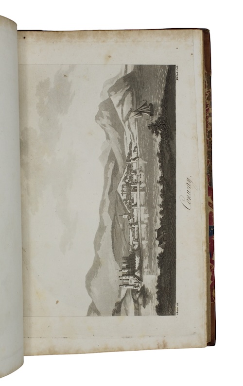
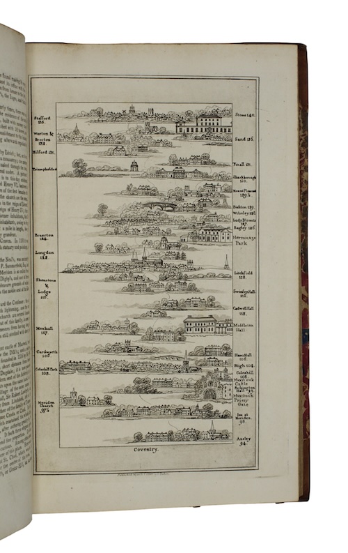
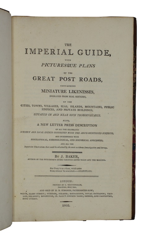
The imperial guide, with picturesque plans of the great post roads, containing miniature likenesses, engraved from real sketches, of the cities, towns, villages, seas, islands, mountains, public edifices, and private buildings...
London.
Printed by C. Whittingham, 1802.
First edition.
8vo.
Volume one, all published. 8vo. iv, 66pp. Without additional engraved title page. With 18 aquatint pictorial road maps and 13 aquatint topographical plates. Bound by Faulkner of London (ticket to FEP) in contemporary gilt-tooled half-calf, marbled paper boards, contrasting red morocco lettering-piece. Lightly rubbed.
A resplendent copy, bound by Thomas William Faulkner of Grosvenor Square, of an early nineteenth-century edition of topographer James Baker's richly illustrated vade mecum to the primary roads of England, first published by subscription in 1799.
Ramsden p.66.
£ 750.00
Antiquates Ref: 28559