A New Map of the County of Kent Divided into Lathes &c.
London.
Printed for C. Smith, January 6th, 1804
Second edition.
Dimensions, unfolded: 520 x 490 mm.
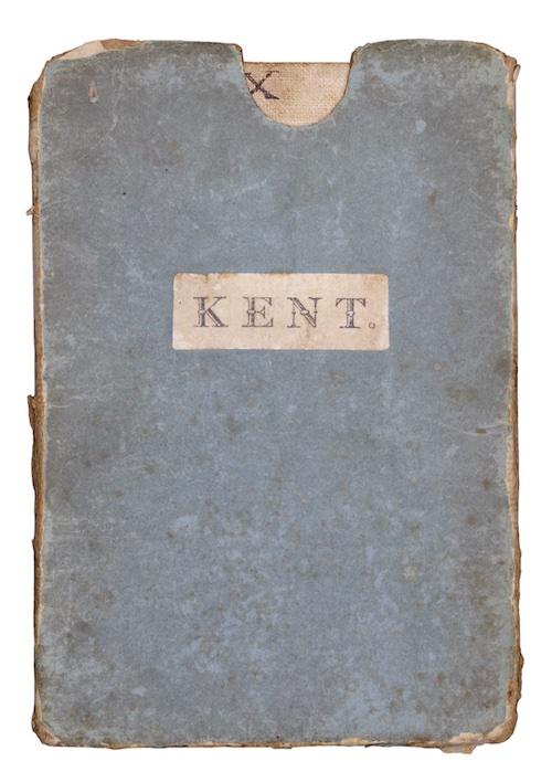
Hand-coloured engraved map. Linen backed. Housed in original publisher's blue card slipcase. Slipcase worn and marked, naive pen-trials to verso. Map lightly spotted.
An early nineteenth-century map of the county of Kent, showing boundaries, rivers, roads, woods and settlements (with relief shown by hachures), first published January 6th, 1801.
£ 200.00
Antiquates Ref: 29043